
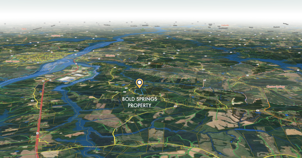
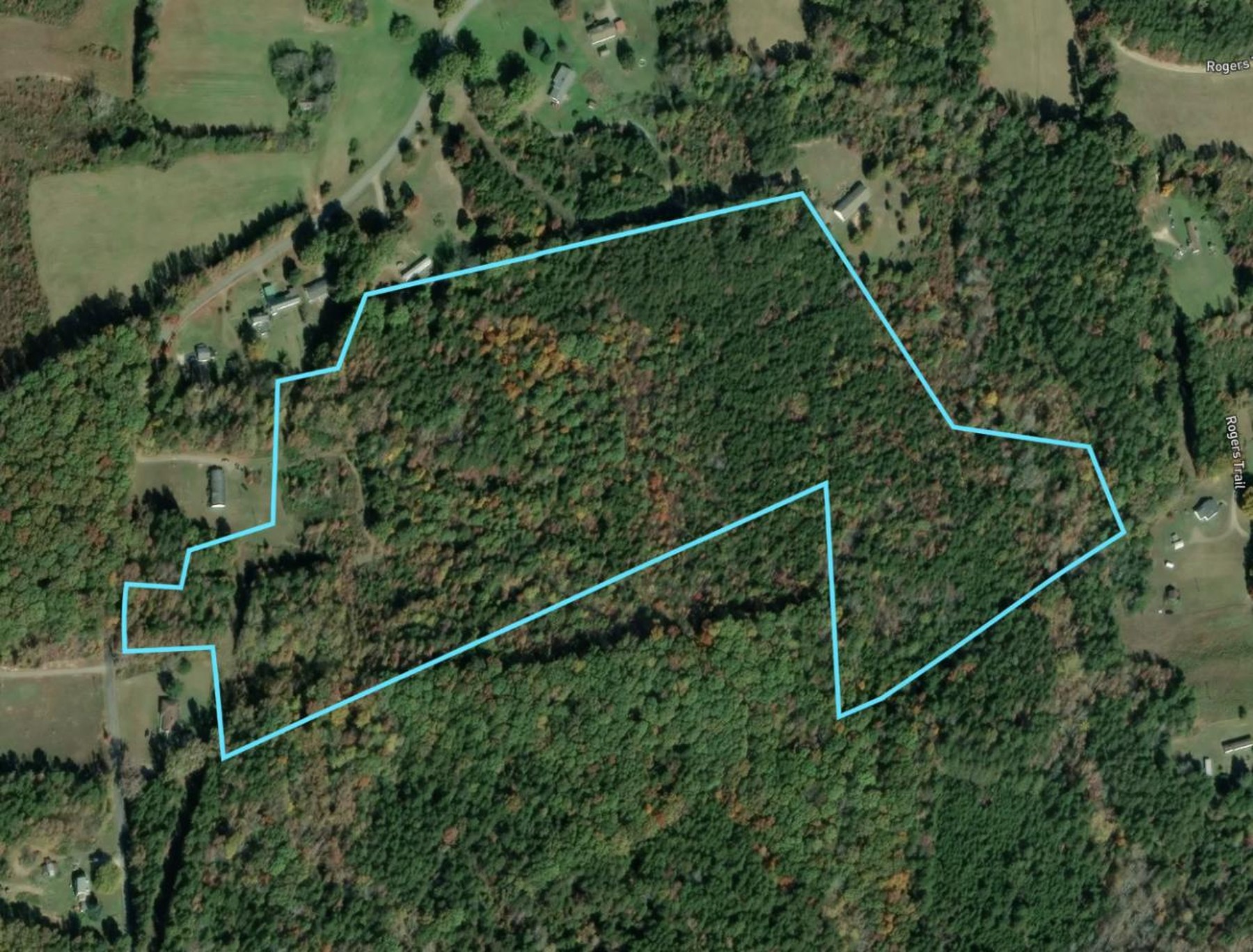
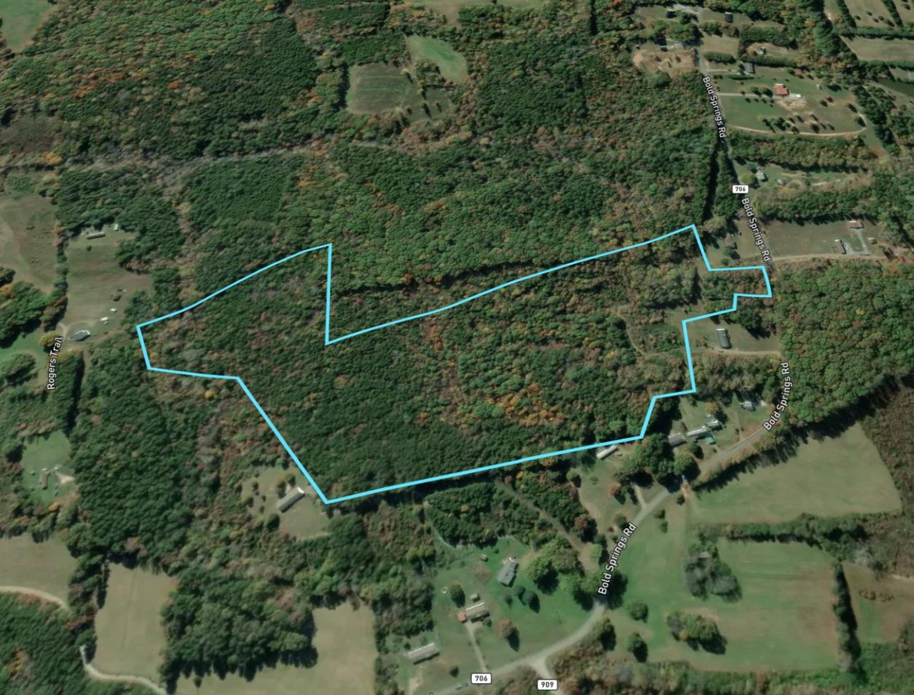
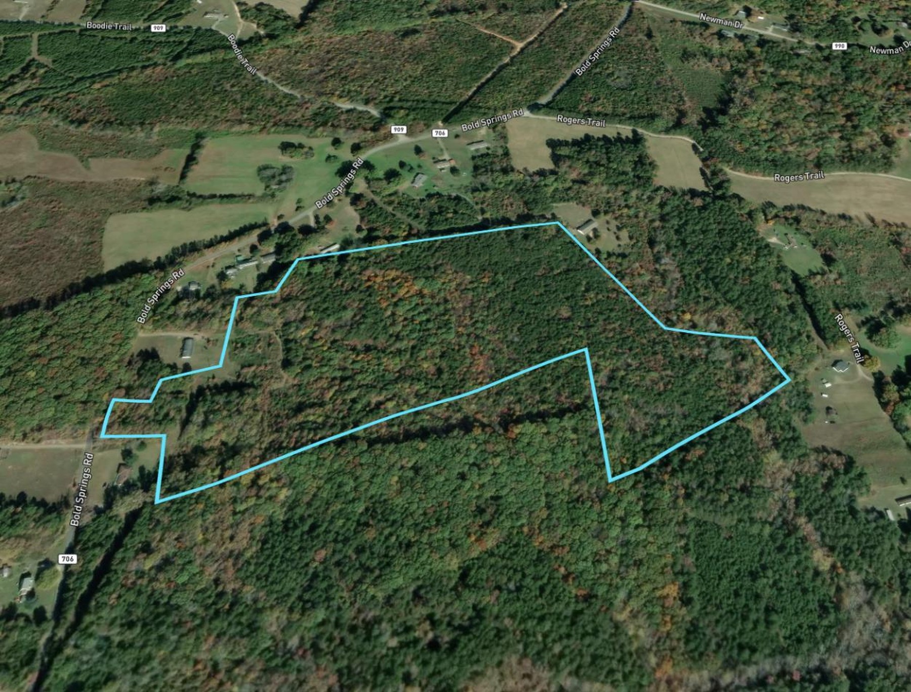
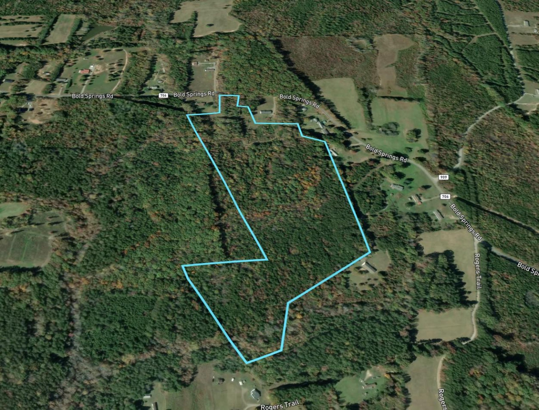
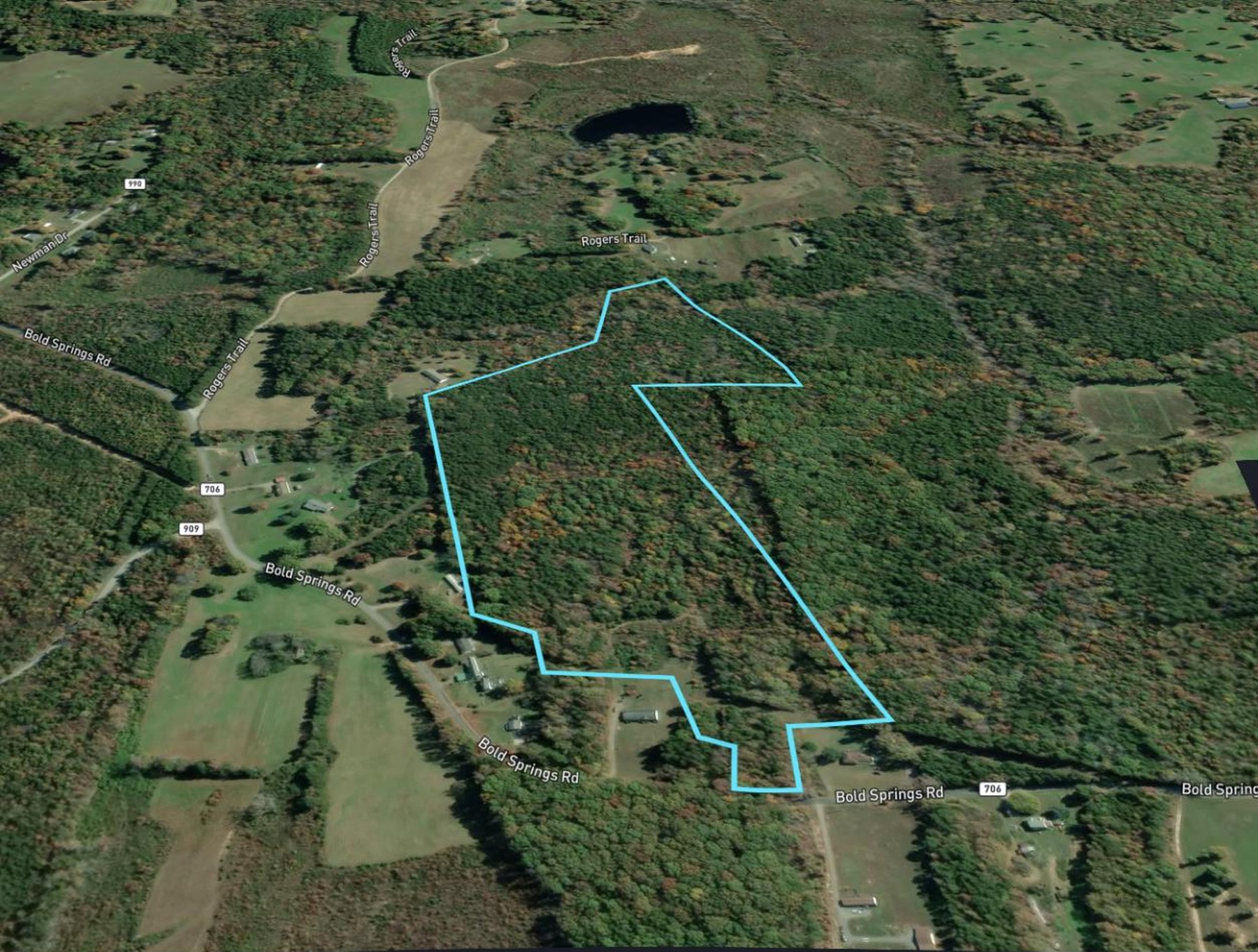
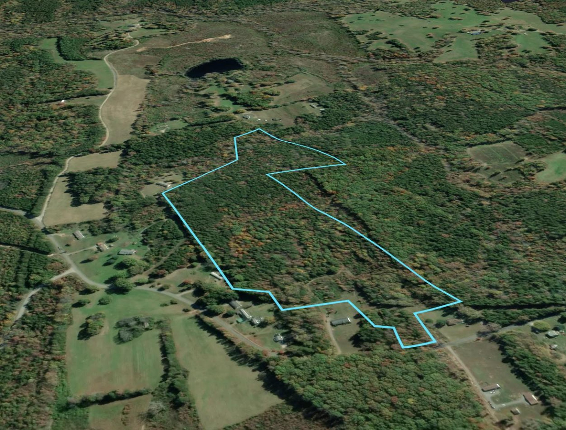
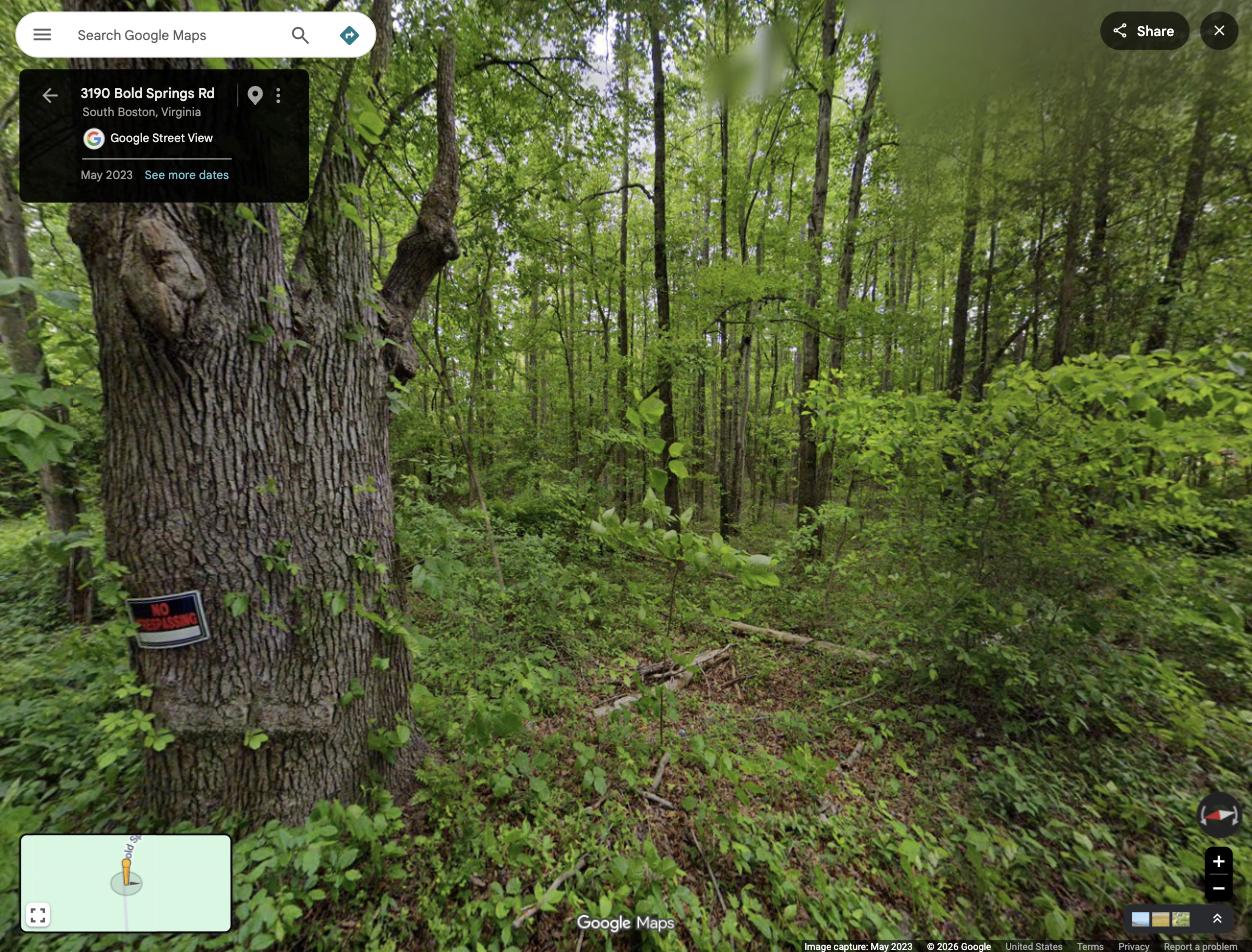
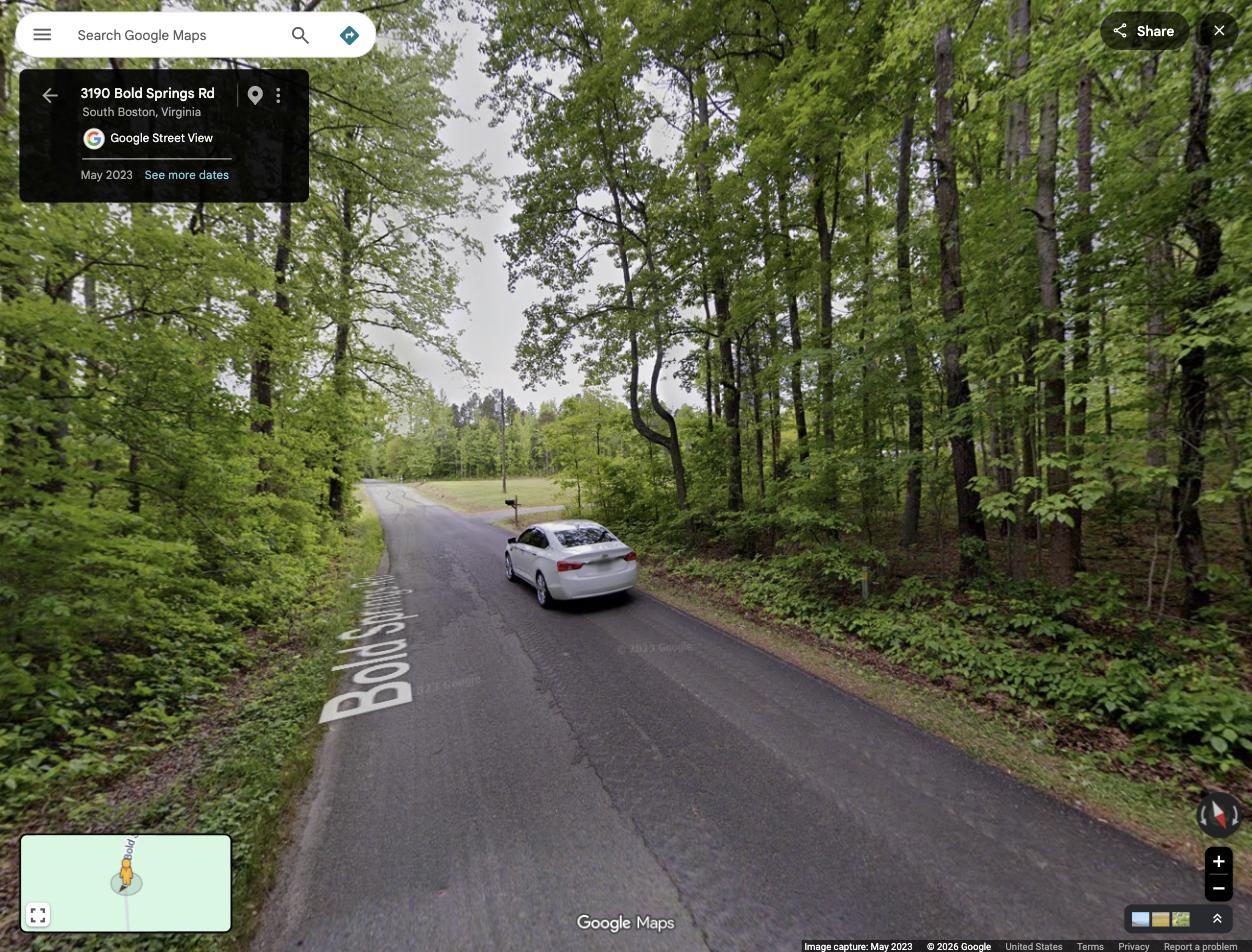
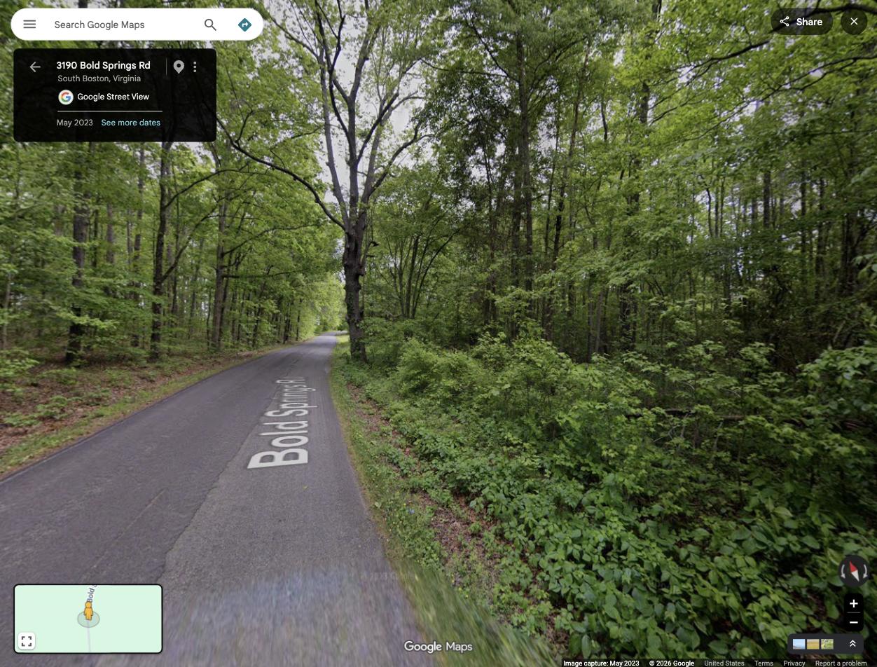
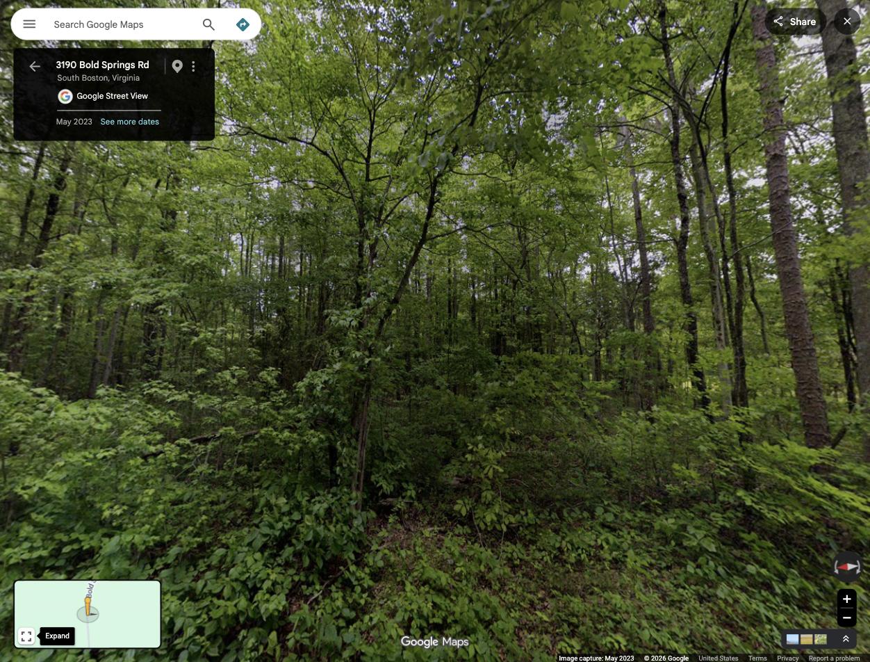
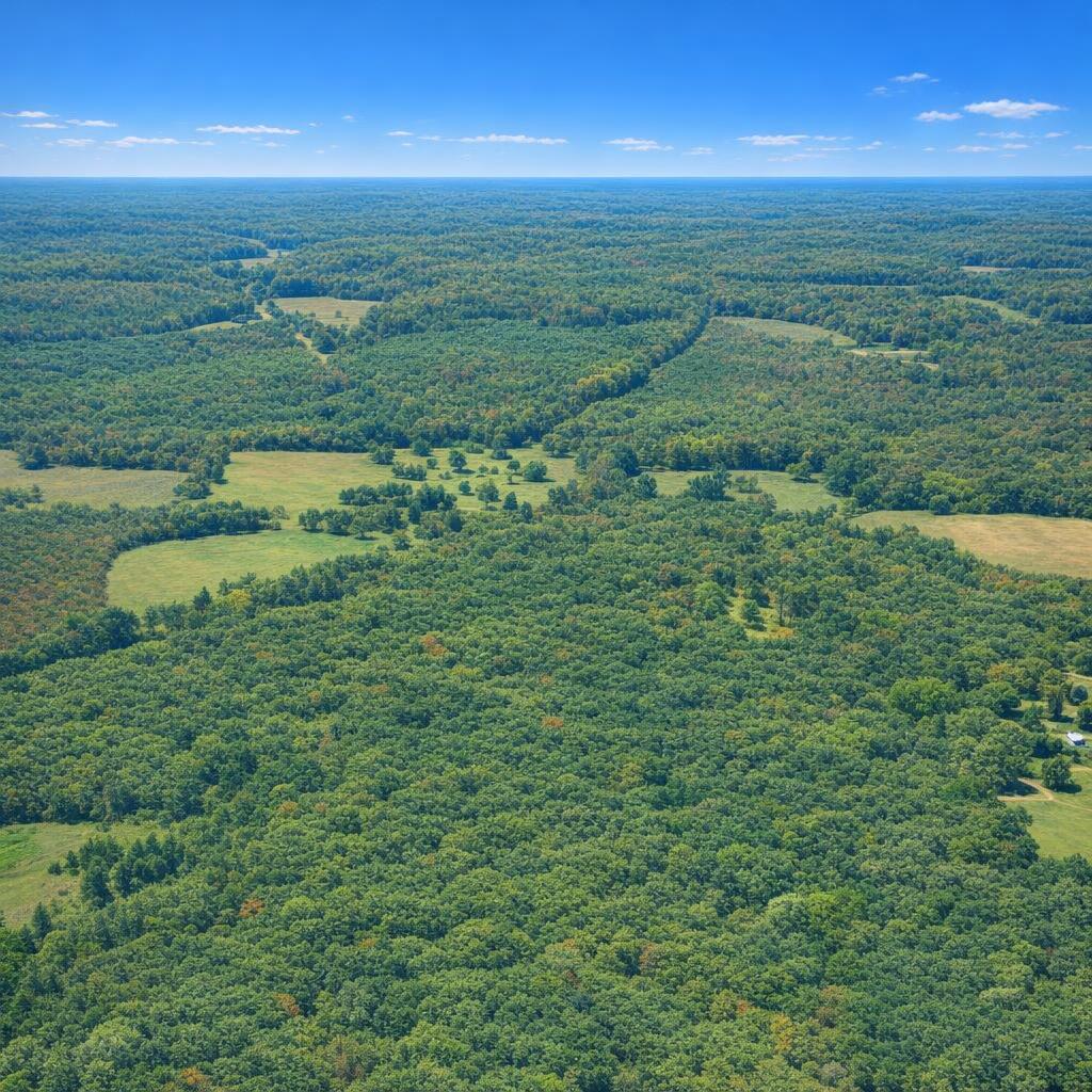
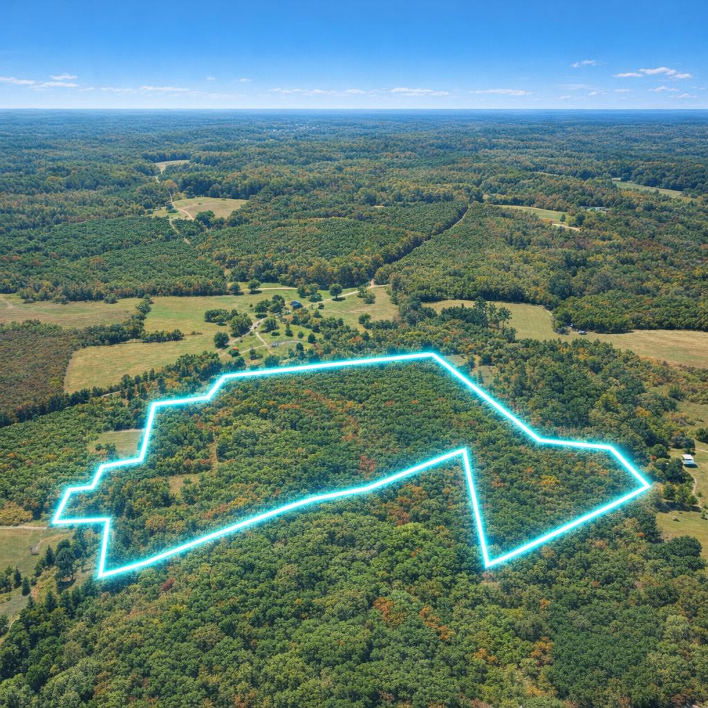
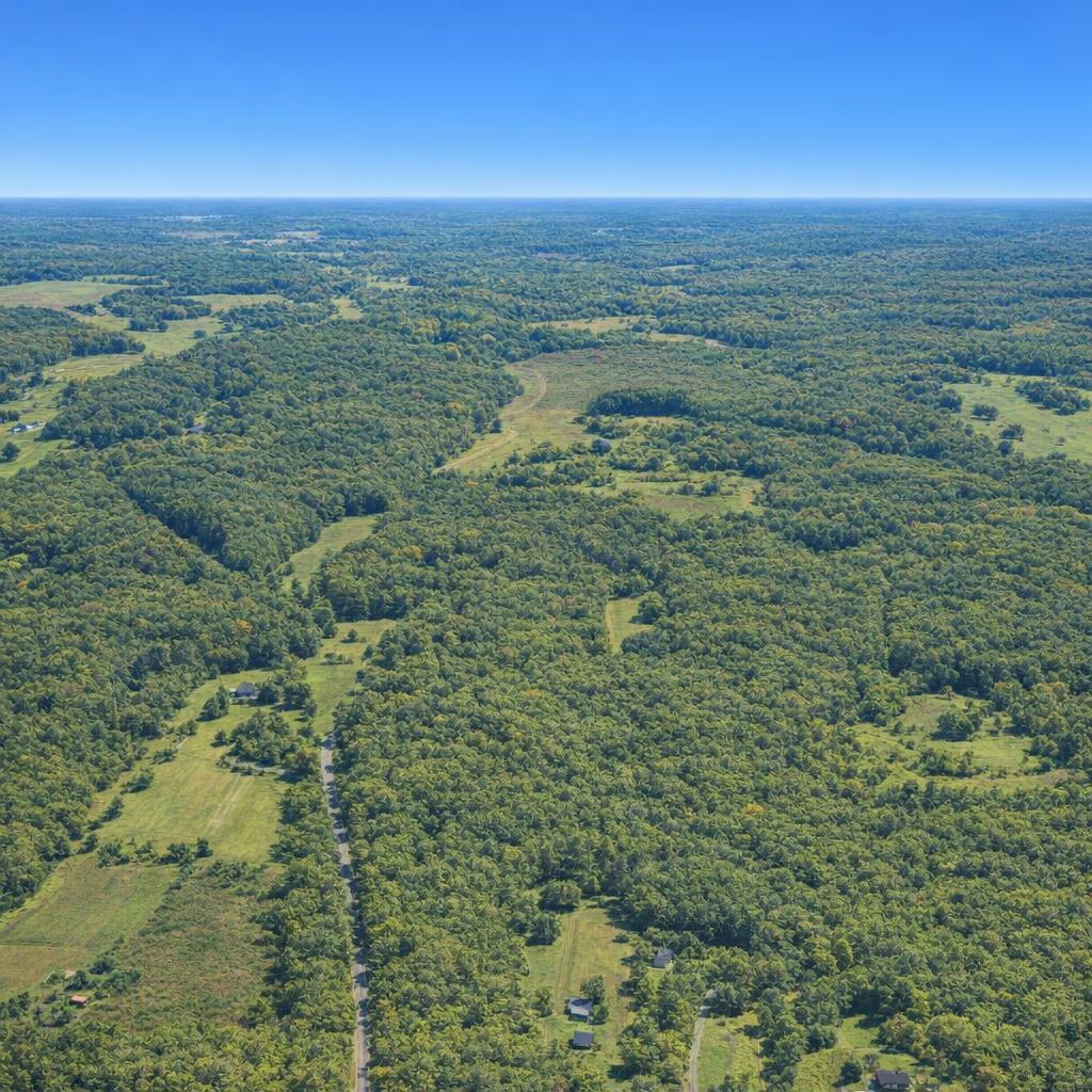
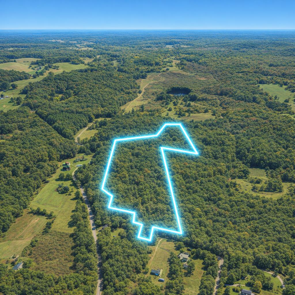
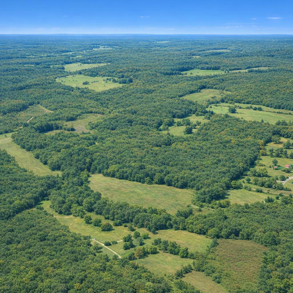
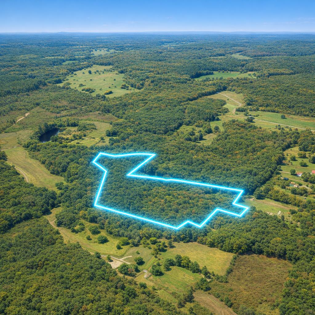
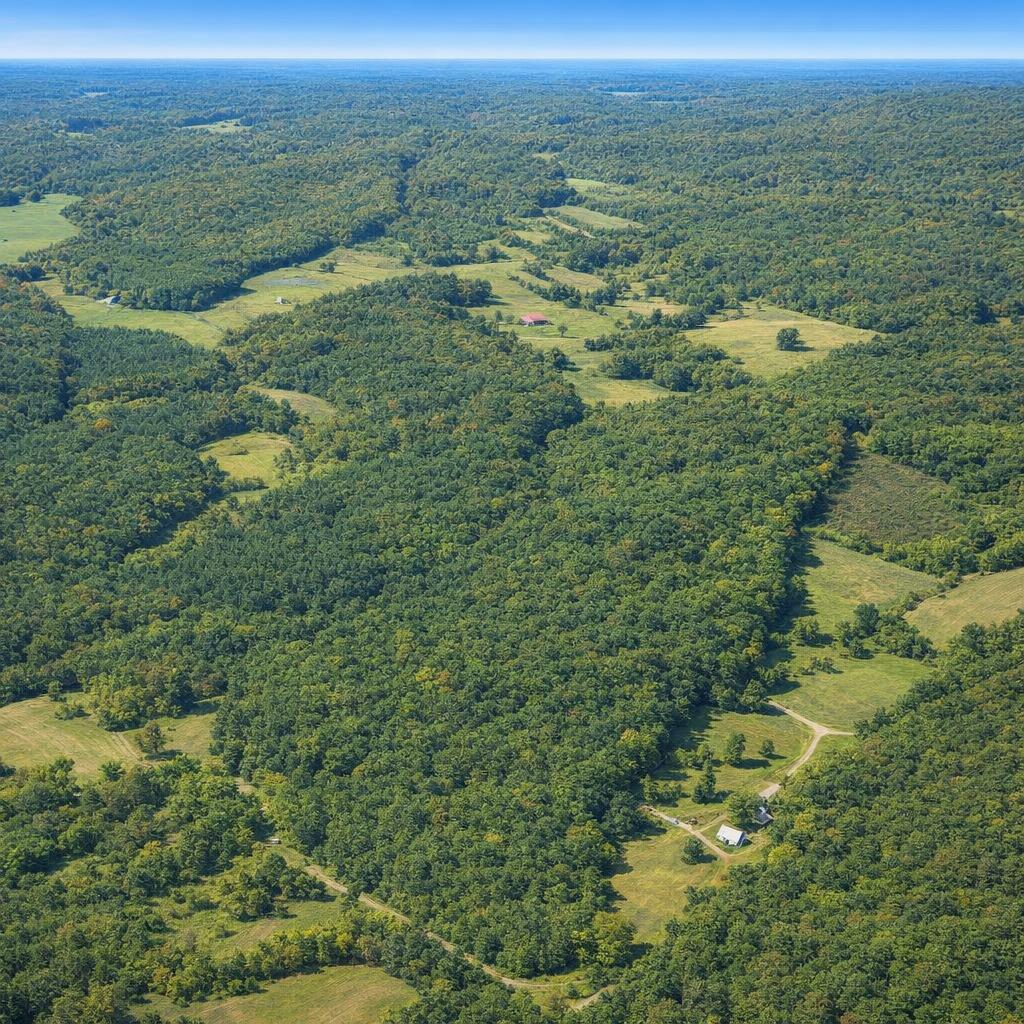
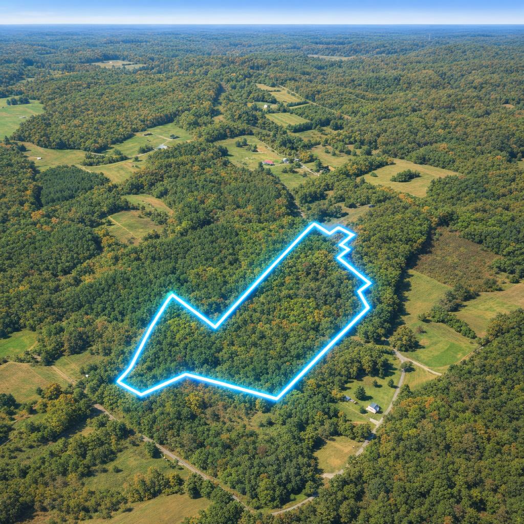
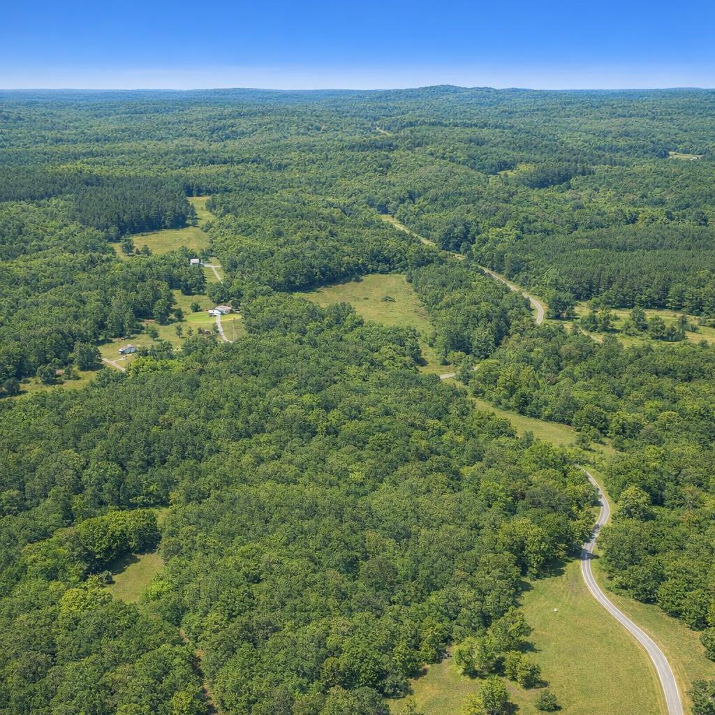
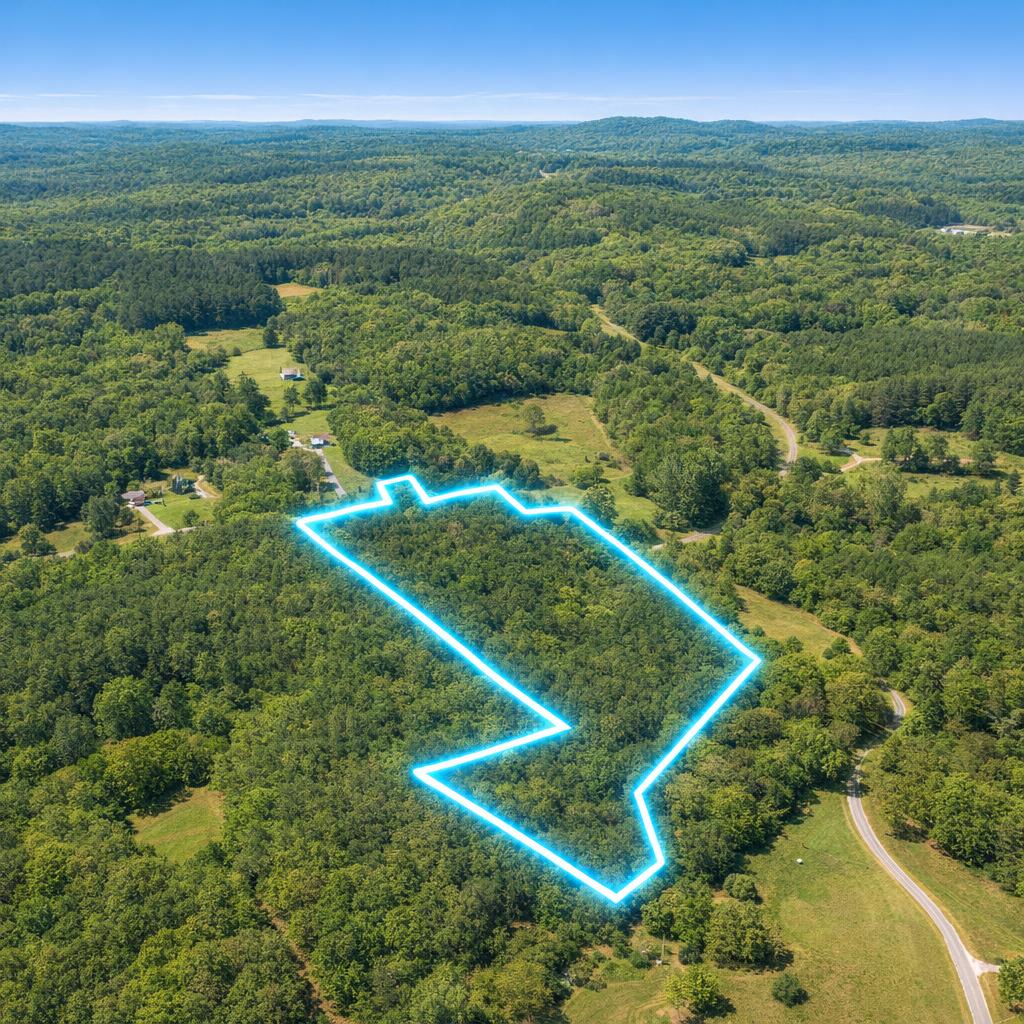
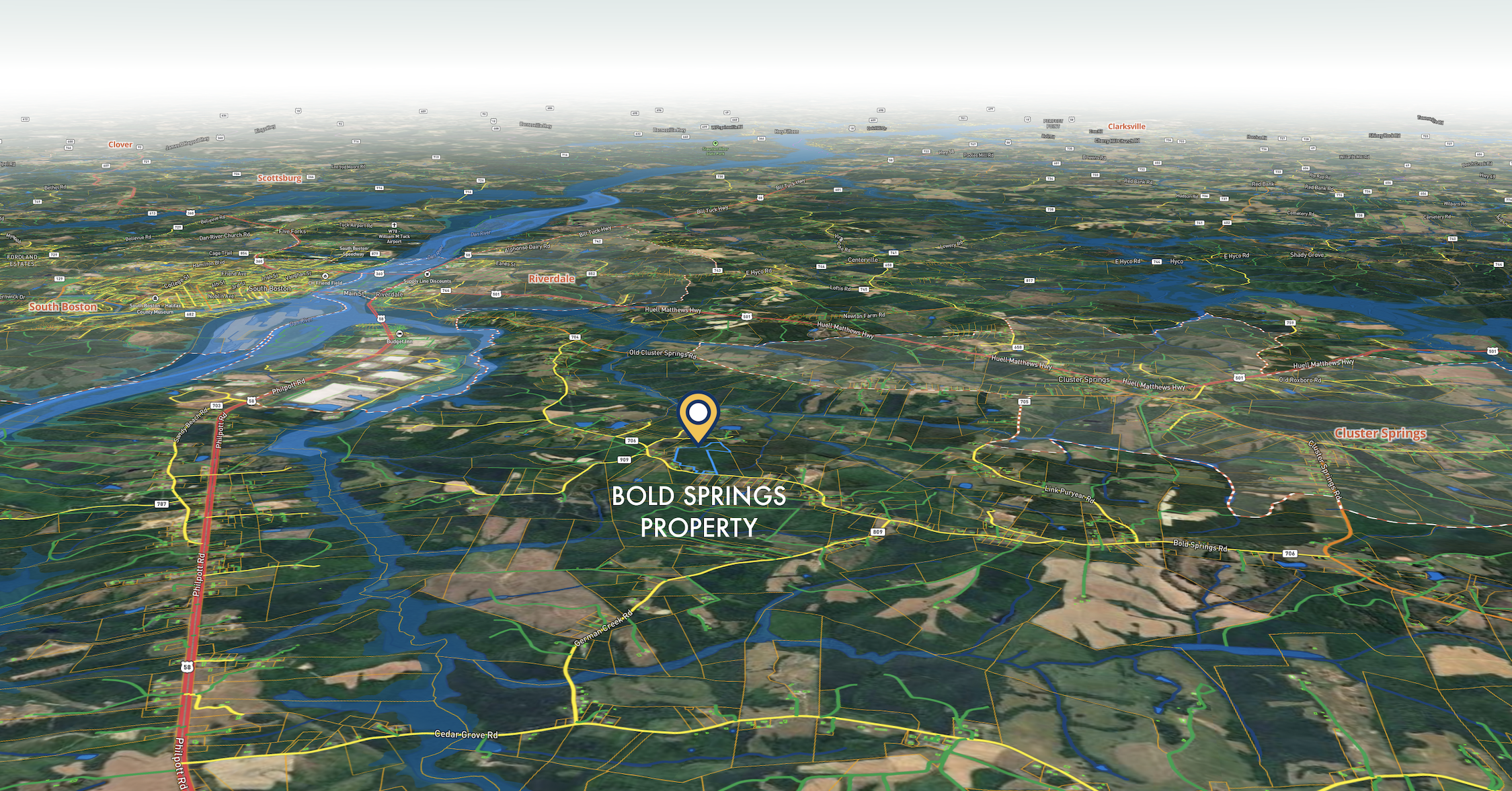
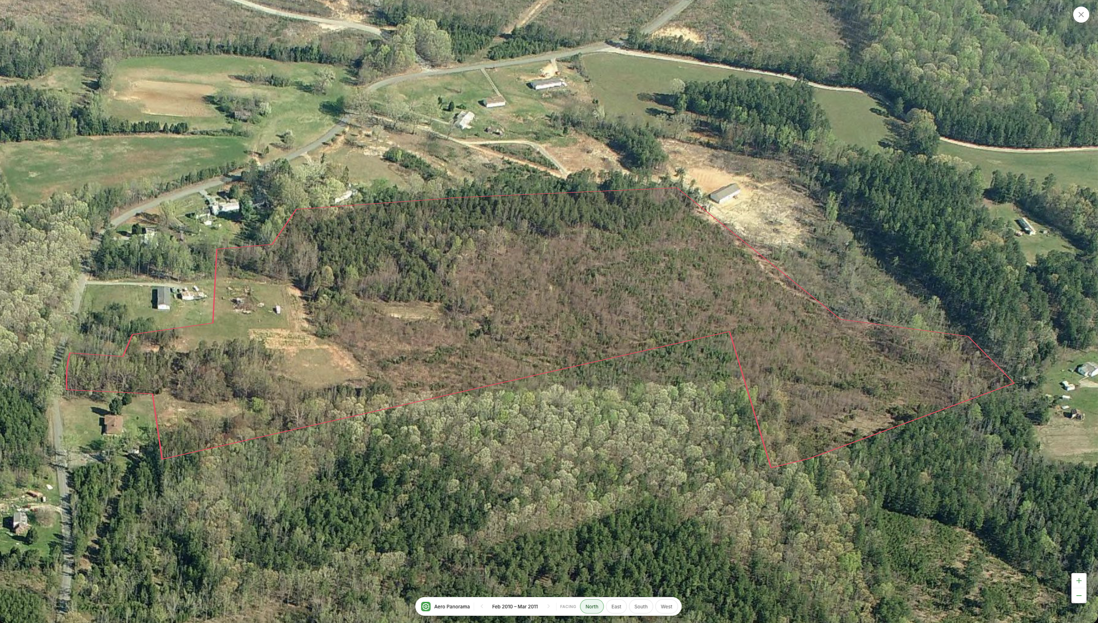
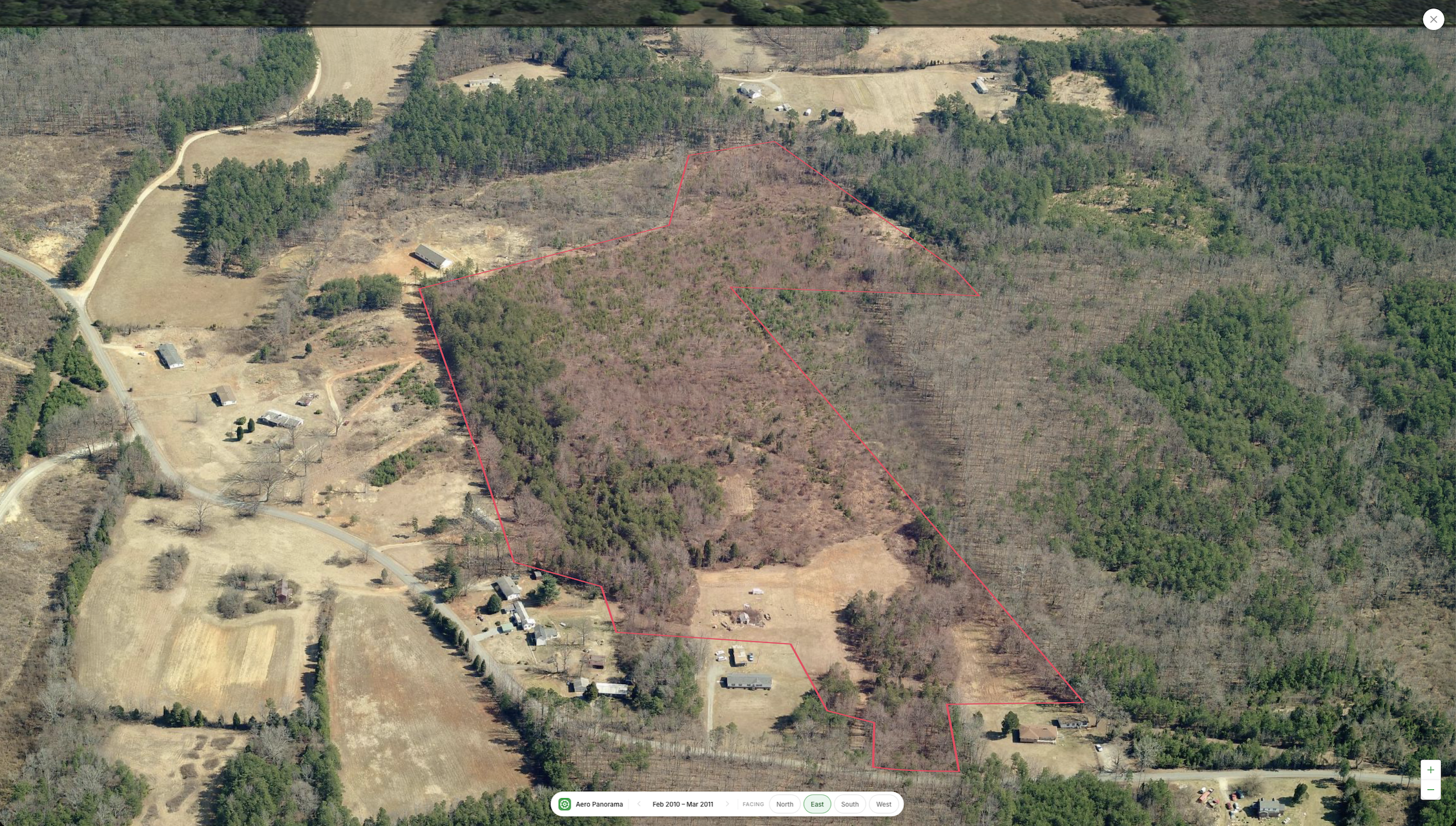
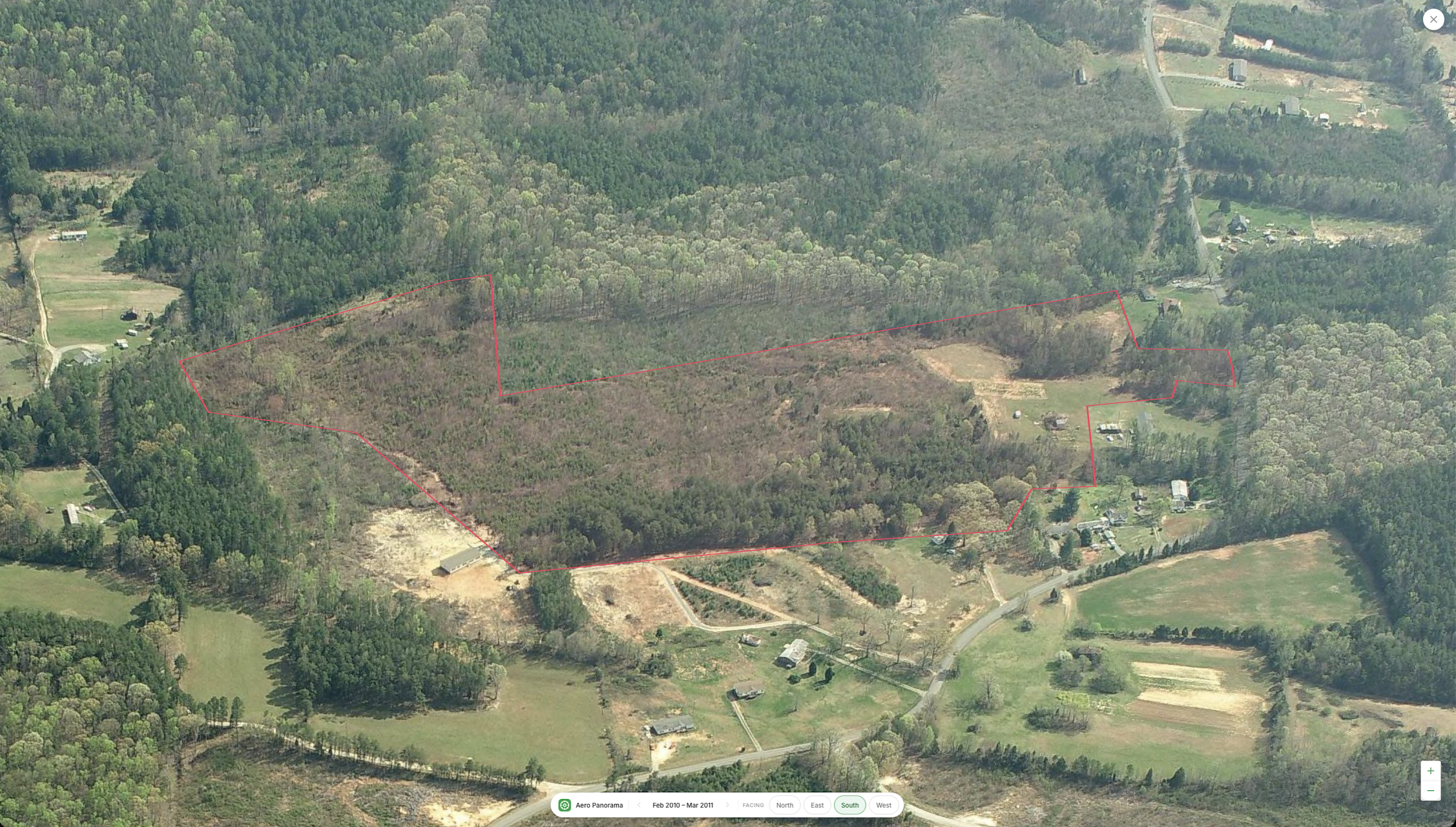
Most people looking for hunting ground end up choosing between two bad options. Either the land is genuinely remote and the drive eats half the weekend, or it’s convenient and there are three houses inside earshot of where you want to sit. This tract is neither. It’s perfectly situated between South Boston and Cluster Springs, four miles from the county airport, and still fully wooded with no structure on it and no neighbor closer than a well-spaced rural setback.
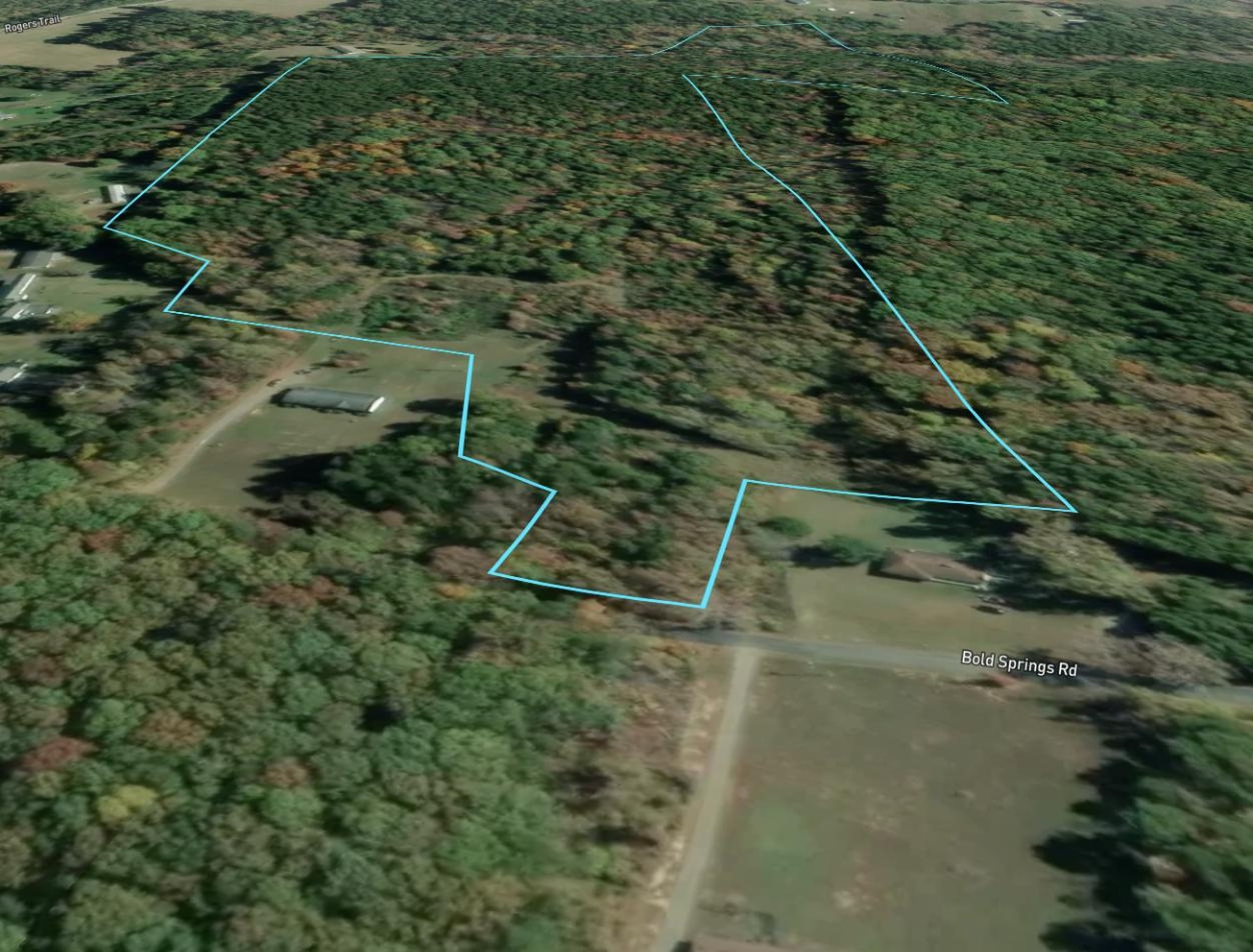
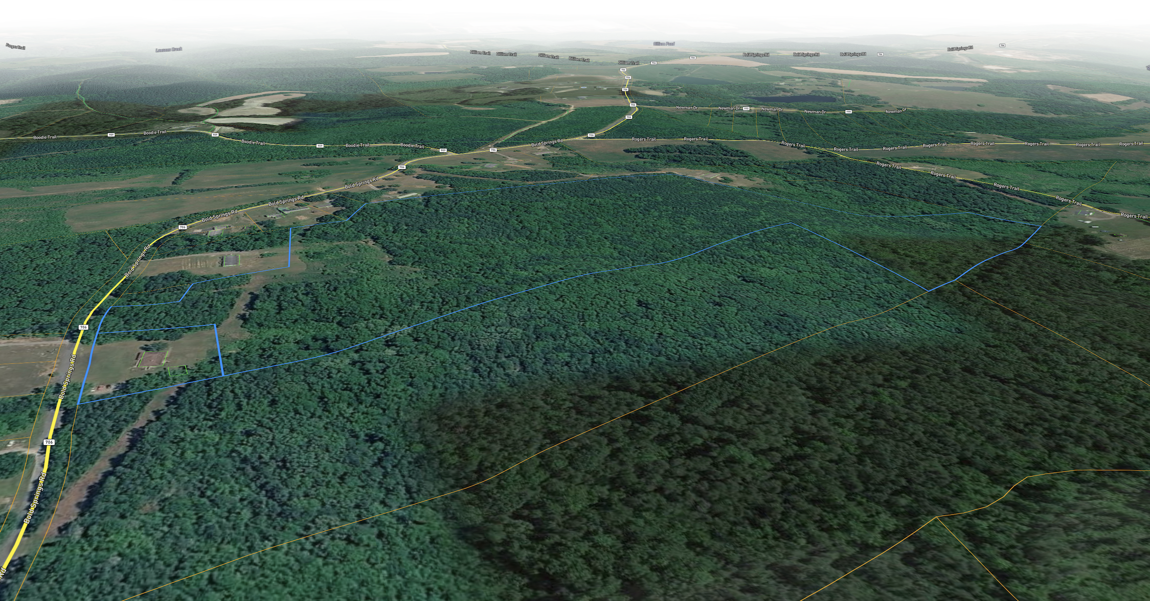
Access is the part that usually goes wrong on land like this, so here it is plainly. The property has 147 feet of its own frontage on Bold Springs Road, a paved public road carrying Virginia secondary route number 706. That’s legal, direct frontage. It does not need an easement across anybody. What it does not have yet is a cut driveway. There’s a raised bank and a roadside ditch along the frontage, so a buyer should plan on a culvert and a VDOT entrance permit to get a vehicle onto the ground. We’d rather you hear that from us now than find it out standing on the shoulder.
The rest is straightforward. 34.54 county-recorded acres, 80 to 100 percent under mature hardwood and pine. The ground is gentle: 77.9 percent of the parcel sits under a 10 percent grade, with an average slope of 8 percent across the whole tract. County records show no structures, no assessed improvement value and no zoning district. Annual taxes are $294.97.
Property Features
Location and Access
- ✅ 147 feet of direct frontage on Bold Springs Road, a paved public road (State Route 706)
- ✅ Six miles to South Boston: Food Lion, Walmart Supercenter, CVS, and Sentara Halifax Regional Hospital
- ✅ Five miles to US Route 58, six miles to US Route 501
- ✅ Four miles to William M. Tuck Airport, the county general-aviation field
Terrain and Natural Features
- ✅ 34.54 acres, 80 to 100 percent mature hardwood and pine cover
- ✅ 77.9 percent of the parcel under a 10 percent grade; average slope 8 percent
- ✅ Elevation ranges 411 to 494 feet across the tract
- ✅ Bordered by a rural patchwork of forest, pasture and hayfield, with no adjacent commercial or industrial use
Site Condition and Documentation
- ✅ Raw, unimproved land: no structures, no assessed improvement value on the county record
- ✅ No zoning district of record; land use coded Rural/Agricultural Vacant Land
- ✅ Annual property taxes of $294.97 on a $58,994 county assessment
- ✅ Soil survey shows 86 percent well-drained Clifford and Nathalie loams with no septic limiting features recorded, a supporting soil signal only, not a completed perc test